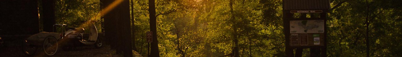
Falls Ridge Natural Preserve
Falls Ridge Natural Preserve features two trails totaling 5 miles. With its nice hiking trails, a beautiful waterfall, intriguing caves, rare plants, and convenient location, the Falls Ridge Preserve gets lots of attention. Falls Ridge Preserve is owned and protected by The Nature Conservancy.
Part of a steep, rugged ridge that rises from the valley of the North Fork of the Roanoke River, Falls Ridge Preserve boasts a spring-fed travertine waterfall approximately 80 feet in height.
Salem Fault runs through the preserve, dividing it into two different rock types-Precambrian limestone and shale/sandstone. The corresponding difference in soil types generates a diversity of vegetation, particularly wildflowers and smaller flora.
The rocks in the travertine falls watershed grew steadily, as minerals and lime dissolved in the water precipitate upon them. Over thousands of years, the build-up of calcium carbonate steepened the stream’s gradient and slowly created both the waterfall and one of the largest-known exposed travertine deposits. Large sinkholes on part of the land also indicate the existence of underlying caverns which have never been explored.
Distance
- Bradley Trail Loop: 3.3 miles
- Chamberlain Trail Loop: 1.3 miles
Hike It
- Starting at the parking area follow the access trail through the field.
- You will soon reach the Bradley Trail Loop marked with silver blazes. Turn right heading towards the waterfall.
- A set of stairs on the left will lead you down to a viewing of the base of the travertine waterfall.
- Continue the trail, and you will cross over a bridge above the primary waterfall. The color of the water and rocks will be picturesque.
- Then you will see a side trail veer off toward private property. Follow the trail left and down a set of stairs.
- Turn right when you reach a Y-junction with the Chamberlain Trail, which is marked with red blazes. This will take you up to a knob above the valley and through a forest of pine and hardwood trees.
- Continue the trail and take a right at the Y-junction about 1.5 miles into the trail. This takes you to the upper Chamberlain Trail Loop.
- Hike ~1.3 miles further and turn right on the Bradley Trail to return to the parking area. On this portion of the hike, many caves and cliffs can be seen.
- Cross the bridge to finish the Bradley Trail Loop, and continue to the parking area.
Directions/Parking
From Roanoke – Take I-81 S until Exit 128 (Ironto). Turn right onto Route 603/North Fork Road. Continue on the winding road for 7 miles until reaching a red bridge on the left. Take a left turn onto Falls Ridge Road and cross the bridge and train tracks. Once over the tracks, turn left onto a gravel road. Cross over a stream and keep left at the fork. Park on the side of the road by the preserve entrance sign. The trail will begin across the field.
Add-On Adventure
- Stop for a beer at these nearby locations: Bull & Bones Brewhaus and Grill or Rising Silo Farm Brewery.
- Bring the kids and check out the Children’s Museum of Blacksburg.
Create Your Own Land Adventure
Get Started Powered by Roanoke Outside